For the North Atlantic…Caribbean Sea and the Gulf of Mexico:
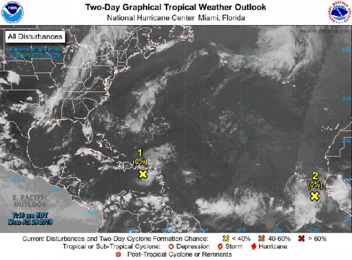
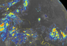
- Shower activity associated with a tropical wave over the eastern
Caribbean Sea remains disorganized. This system is expected to move
west-northwestward with no significant development, producing
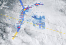
locally heavy rainfall over Puerto Rico, Hispaniola, and portions of
the southeastern Bahamas during the next few days. Over the weekend,
conditions could become a little more conducive for development when
the disturbance moves near Florida and the central and northwestern
Bahamas.
- Formation chance through 48 hours…low…near 0 percent.
- Formation chance through 5 days…low…10 percent.
- A tropical wave accompanied by a broad low pressure system is
producing a large area of cloudiness and disorganized shower
activity over the far eastern tropical Atlantic a few hundred miles
southeast of Cabo Verde. Upper-level winds are expected to be
unfavorable for any significant development of this disturbance
during the next few days. However, environmental conditions are
forecast to become a little more conducive for development over the
weekend.
- Formation chance through 48 hours…low…near 0 percent.
- Formation chance through 5 days…low…20 percent.
Forecaster Stewart


