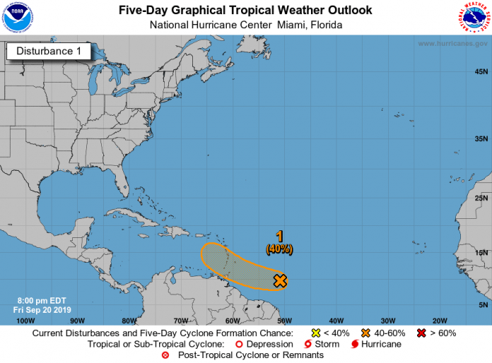
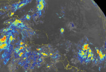
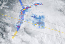
A tropical wave located several hundred miles east of the Windward
Islands continues to produce a large area of disorganized showers
and thunderstorms. Environmental conditions are currently conducive
for some development, and a tropical depression could form over the
weekend while the system moves quickly westward to west-
northwestward at 15 to 20 mph, crossing the Windward Islands
Saturday night and Sunday. Upper-level winds are forecast to become
less conducive for development early next week once the wave moves
over the eastern Caribbean Sea. A NOAA Hurricane Hunter aircraft
is scheduled to investigate this system tomorrow afternoon, if
necessary. Regardless of development, heavy rainfall is possible
over the Windward Islands over the weekend, and interests on those
islands should monitor the progress of this system.
- Formation chance through 48 hours…medium…40 percent.
- Formation chance through 5 days…medium…40 percent.


