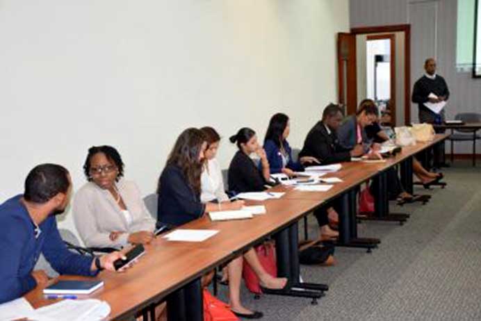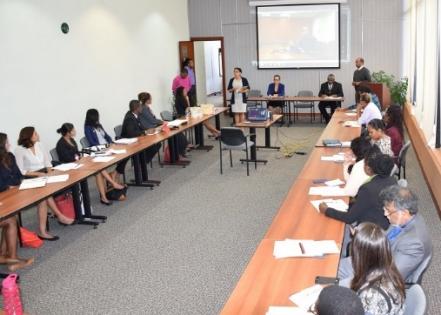
May 19, 2016: Mr. Terry Mohomed of the Technical Cooperation Unit of the Ministry of Planning and Development spearheaded a meeting on May 18 with representatives from the United Nation Population Fund (UNFPA), the Central Statistical Office (CSO) and representatives from various Ministries on using geographic information systems (GIS) to address population dynamics and climate change resilience in the Caribbean.
The three year project aims to establish a framework, utilizing census data, to map and analyze the socio-demographic components of the climate-related vulnerability on specific communities in a given geographic area to inform sustainable development. This meeting was also the first part of a regional Climate Change GIS Project also involving Jamaica and St. Lucia who are already in the second phase of the project.
The initiative is a collaboration among the Government of Trinidad and Tobago; the United Nations Population Fund (UNFPA); and technical personnel from the Ministry of Social Development; the Office of Disaster Preparedness and Management (ODPM); the Institute of Marine Affairs; the Ministry of Agriculture, Land and Fisheries; the Ministry of Works and the Tobago Emergency Management Agency (TEMA).
The effort comes at a key time when exacerbated climate change has left several areas in the Caribbean reeling from the effects of prolonged drought and rainy seasons resulting in heavy flooding, landslides and depleted water supplies. According to Ms. Candice Ramkissoon of the ODPM, “the effects of these weather conditions especially affected those from low socio-economic backgrounds from both rural and urban areas and as such, these demographic statistics are central in identifying key groups and communities that would be especially vulnerable to climate change phenomena and informing policy to address their specific needs”. Mr. Sean O’Brien of the Central Statistical Office mentioned that “it is important to gain population data on those persons heavily involved in agriculture, fisheries and forestry jobs as they are some of the groups that would be adversely affected by climate change”.
Additionally, the initiative is also helpful in mapping those zones in Trinidad and Tobago that contain high population densities, hazard sites as well as coastal and low lying communities since the data on these areas will allow first responder groups such as the health, disaster and security personnel to properly forecast, plan and inform actions and policy in terms of disaster management.
The meeting ended with stakeholders committing to appointing a steering committee to oversee the implementation of the key phases of the project over the next three years.


