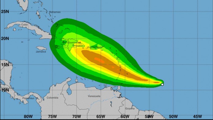
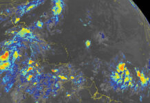
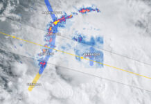
At 1100 AM AST (1500 UTC), the center of Tropical Storm Dorian was located near latitude 11.2 North, longitude 52.9 West.
Dorian is moving toward the west near 14 mph (22 km/h), and this motion should continue through tonight. A turn toward the west-northwest is expected on Monday, with this motion continuing through Tuesday night. On the forecast track, the center of Dorian is expected to be near the Windward Islands late Monday or early Tuesday and move into the eastern Caribbean Sea on Tuesday.
Maximum sustained winds are near 40 mph (65 km/h) with higher gusts. Some strengthening is forecast during the next 48 hours, and Dorian could be near hurricane strength by Tuesday over the eastern Caribbean Sea.
Tropical-storm-force winds extend outward up to 25 miles (35 km) from the center.
The estimated minimum central pressure is 1008 mb (29.77 inches).
WATCHES AND WARNINGS
CHANGES WITH THIS ADVISORY:
The Government of Barbados has issued a Tropical Storm Warning for
Barbados and a Tropical Storm Watch for St. Vincent and the
Grenadines.
The Government of St. Lucia has issued a Tropical Storm Watch for
St. Lucia.
SUMMARY OF WATCHES AND WARNINGS IN EFFECT:
A Tropical Storm Warning is in effect for…
- Barbados
A Tropical Storm Watch is in effect for…
- St. Lucia
- St. Vincent and the Grenadines
A Tropical Storm Warning means that tropical storm conditions are expected somewhere within the warning area within 36 hours.
A Tropical Storm Watch means that tropical storm conditions are possible within the watch area, generally within 48 hours.
Additional watches could be issued later today for portions of the Windward and Leeward Islands. Elsewhere, interests in Puerto Rico, the Virgin Islands, and Hispaniola should monitor the progress of Dorian.


