For the North Atlantic…Caribbean Sea and the Gulf of Mexico:
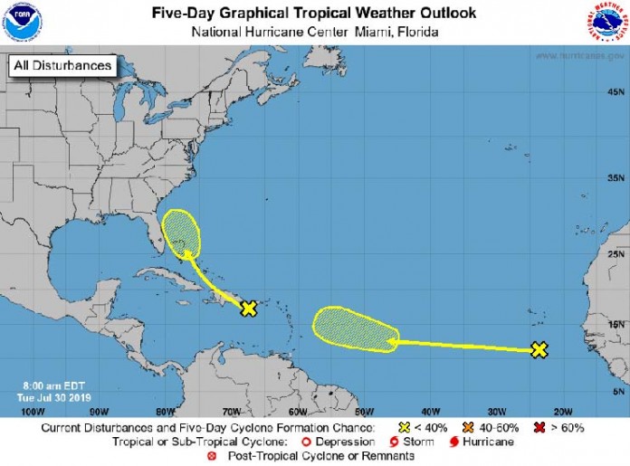
- A tropical wave located over the northeastern Caribbean Sea is
producing disorganized showers and thunderstorms. This system is
expected to move west-northwestward with no significant development
during the next few days, producing locally heavy rainfall over
Puerto Rico and the Virgin Islands, Hispaniola, and portions of the
southeastern Bahamas. Conditions could become marginally conducive
for development by the weekend when the disturbance moves near
Florida and northwestern Bahamas.
- Formation chance through 48 hours…low…near 0 percent.
- Formation chance through 5 days…low…10 percent.
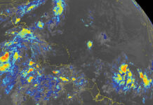
- A tropical wave accompanied by a broad low pressure system
continues to produce a large area of cloudiness and disorganized
shower activity over the far eastern tropical Atlantic, a few
hundred miles south of the Cabo Verde Islands. No significant
development of this system is expected for the next few days while
the it moves westward at 15 to 20 mph. Upper-level winds could
become more conducive for development by the weekend while the wave
continues westward across the central Atlantic.
- Formation chance through 48 hours…low…near 0 percent.
- Formation chance through 5 days…low…20 percent.
Forecaster Zelinsky


